Humidity Inference with Geographic Features and Machine Learning for Enhanced Contrail Prediction for African Airspace
PublishedIEEE MIGARS 2025
Abstract
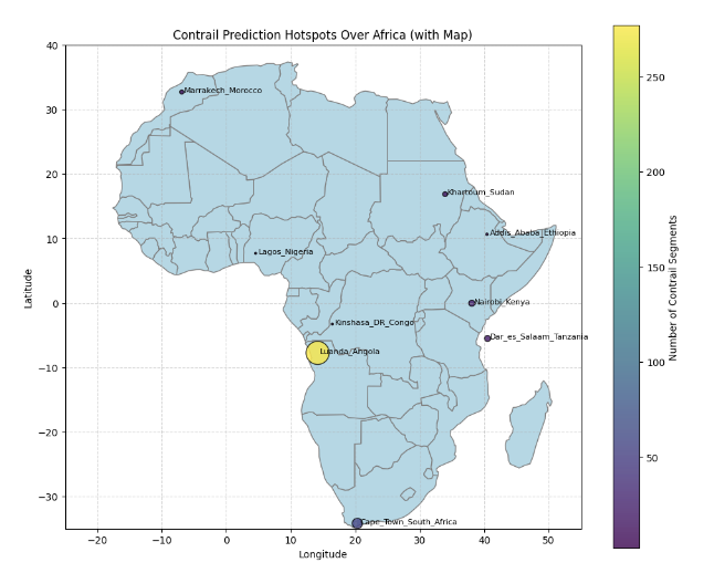
Air travel's 3.8% yearly growth amplifies aviation's impact, with contrails causing about 4% of global warming. In Africa, sparse meteorological data and coarse ERA5 resolution underpredict contrails in cities like Nairobi and Lagos. This study uses a Random Forest model within PyContrails to infer upper-tropospheric humidity (RHi) from water proximity, forest density, and topography. Using global datasets, it achieves an R2 of 0.59 identifying water proximity as the main driver. African cities show only 32 contrail segments versus 450 in Europe, underscoring the model's potential to refine predictions and reduce aviation's non-CO₂ climate effects.